Jp
Menu
English
Arabic
Brazil
French
German
Italian
Russian
Simplified China
Traditional China
Spanish
Turkey
India
Vietnam
Japanese
Korean
アプリについて
お問い合わせ
Jp
English
Arabic
Brazil
French
German
Italian
Russian
Simplified China
Traditional China
Spanish
Turkey
India
Vietnam
Japanese
Korean
This section is not available yet
ホーム
地図
イギリス
Carnoustie
区
トップの場所
エンタメ
図書館
公園
アトラクション
教会
ビジネス
宿泊
アパート
ゲストハウス
ホテル
店
スーパー
ヘルス
医者
ドラッグストア
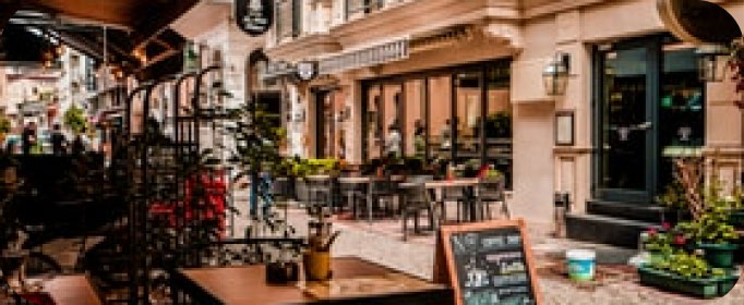
食事
パブ
教育
学校
交通機関
駐車場
タクシー
駅
お金
アパート
Henry Cotton Residence
Diamond - Links View Apartment
ゲストハウス
The Links View Holiday Home
Morven House
1.0
スーパー
The Co-operative Food
1.5
The Co-operative Food
2.0
タクシー
Station Road Taxi Rank
1.5
ドラッグストア
Boots
3.1
76 Barry Rd, カーヌスティ, Angus, DD7 7QU, イギリス, GPS: 56.500526,-2.7339272
クレジットカード
+
more
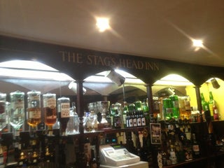
パブ
The Stags Head Inn
$$
Dundee Road, カーヌスティ, Angus, イギリス, GPS: 56.500744,-2.722124
価格
+
more
Kinloch Arms Hotel
1.5
クレジットカード
+
more
ホテル
The Station Hotel
$
23 Station Rd, カーヌスティ, Angus, DD7 6AR, イギリス, GPS: 56.50087,-2.7067814
価格
+
more
19th Hole
カーヌスティ, Angus, イギリス, GPS: 56.50023,-2.7138567
公園
House Grounds
1.5
医者
Parkview Primary Care Centre
カーヌスティ, Angus, イギリス, GPS: 56.5004,-2.734402
図書館
Carnoustie
イギリス, GPS: 56.50054,-2.7066412
学校
Carlogie Primary School
2.5
Burnside Primary School
2.0
教会
Carnoustie Church
2.0
Barry Parish Church
2.0
駅
Carnoustie
2.5
Carnoustie
2.5
駐車場
Black Slab
0.5
The Black Slab
イギリス, GPS: 56.49733,-2.7132514
Show on map
Show list
MAPS.ME
いつも手元に
アプリをダウンロードして、自分の視野を広げよう
MAPS.MEのアプリを開く
ウェブバージョンを使う